Looking for design inspiration?   Browse our curated collections!

Previous Image

|

Next Image
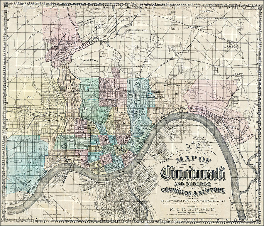
Cincinnati Photograph - Historical Map Cincinnati Ohio 1890 by Carol Japp

Historical Map Cincinnati Ohio 1890 is a photograph by Carol Japp which was uploaded on July 21st, 2021.

More from Carol Japp

View Profile

Cincinnati Ohio Vintage Map Birds Eye View 1900 Blue by Carol Japp
Cincinnati Ohio Vintage Map Birds Eye View 1900 by Carol Japp
Cincinnati Ohio Retro Vintage Travel  by Carol Japp
Cincinnati Ohio Vintage Map Birds Eye View 1900 Sepia  by Carol Japp
Cincinnati Ohio Vintage Map Birds Eye View 1900 Black and White by Carol Japp
Historical Map of Cincinnati Ohio 1863 by Carol Japp
Historic Map Pittsburgh And Cincinnati 1855 Sepia  by Carol Japp
Historic Map Pittsburgh And Cincinnati 1855 Blue by Carol Japp
Historic Map Pittsburgh And Cincinnati 1855 Black and White  by Carol Japp
Historic Map Pittsburgh And Cincinnati 1855 by Carol Japp
Ohio Vintage Retro Travel  by Carol Japp
Vintage County Map of Ohio and Indiana 1863 Sepia  by Carol Japp
Vintage Map States of Indiana and Ohio 1824 by Carol Japp
Nashville Chattanooga and St Louis Railway Vintage Map 1889  by Carol Japp
Lake Erie and Louisville Railway Vintage Map 1872 Sepia by Carol Japp
Lake Erie and Louisville Railway Vintage Map 1872 Blue by Carol Japp
Ohio Antique Vintage Map 1810 Sepia  by Carol Japp
Boones Black Diamond System of Railways Vintage Map 1896 Blue  by Carol Japp
Boones Black Diamond System of Railways Vintage Map 1896 by Carol Japp

Comments

There are no comments for Historical Map Cincinnati Ohio 1890.   Click here to post the first comment.

Recently Viewed

Historical Map Cincinnati Ohio 1890 by Carol Japp
Previous Image Next Image